5G Planning
Do I Need Different Geodata for Macro Cells vs Small Cells?
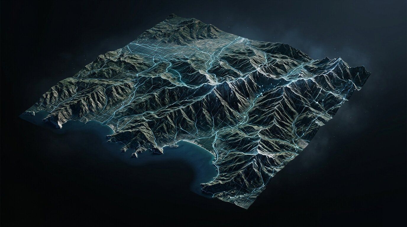
Macro cells tolerate 5 to 10 m resolution terrain and clutter data. Small cells at street level require sub-2 m 3D building data and per-tree...