RF Planning for Telecom
Digital GeoSpatial Maps to Simplify Accurate Planning
Whether it is planning 5G/LTE small cells in an urban environment or creating a nominal design to understand spectrum costs for a new technology overlay, LuxCarta has a product tailored to your needs and budget. We have focused on the wireless industry – in particular the needs of RF engineers – for 30 years and our account managers understand your requirements. Our product offering includes:
- Geodata for RF and microwave planning & optimization in simulation tools
- Products designed for use with leading RF planning software — Forsk Atoll, InfoVista Planet, Teoco Asset, Ranplan Professional — and more
- Pre-and post-sales support in your time zone
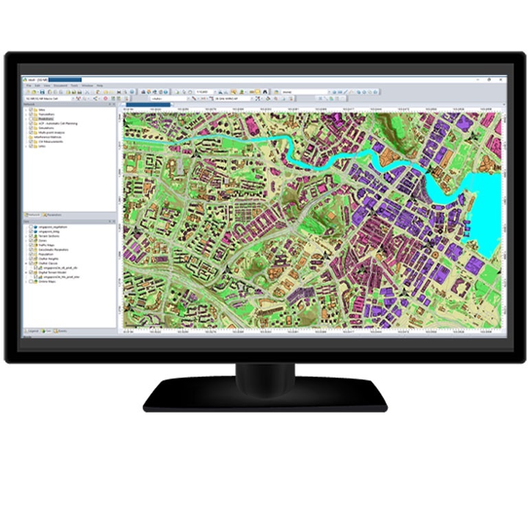
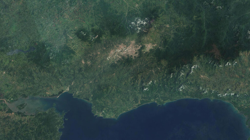
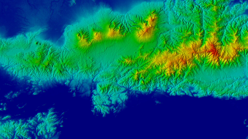
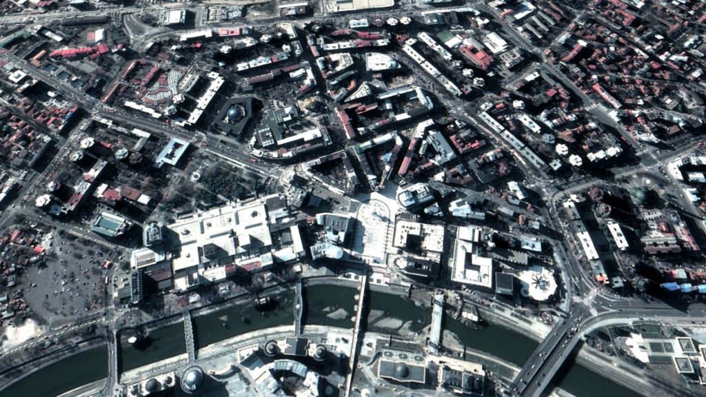
Digital Elevation Model
Bald Earth Digital Terrain Model (DTM) representing the ground surface only, with optional transportation features (bridges, overpasses, elevated highways)
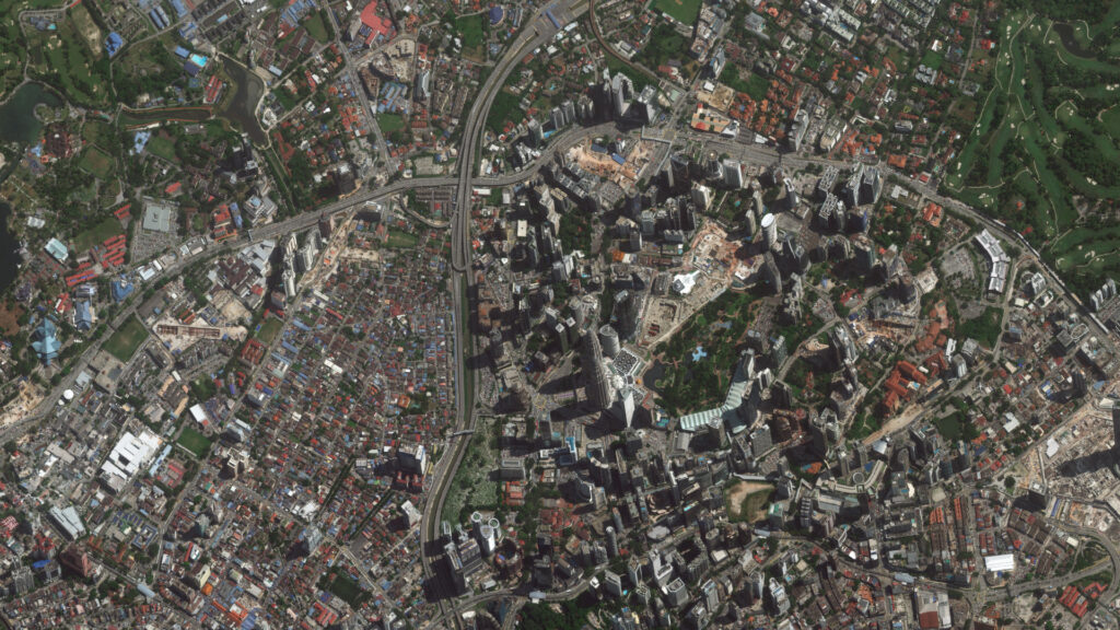
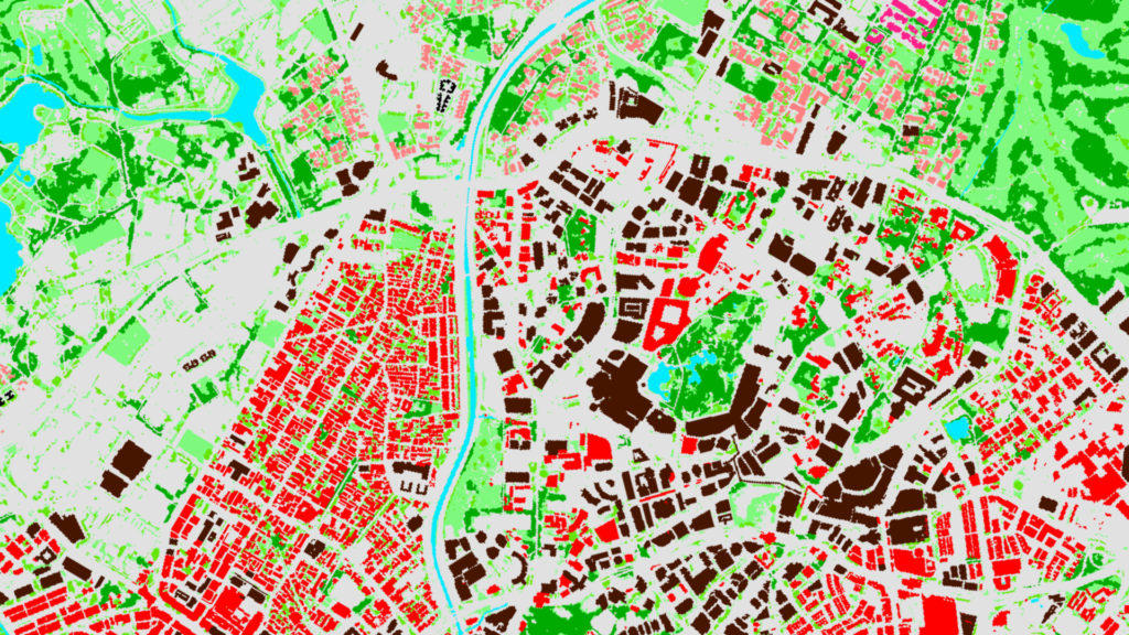
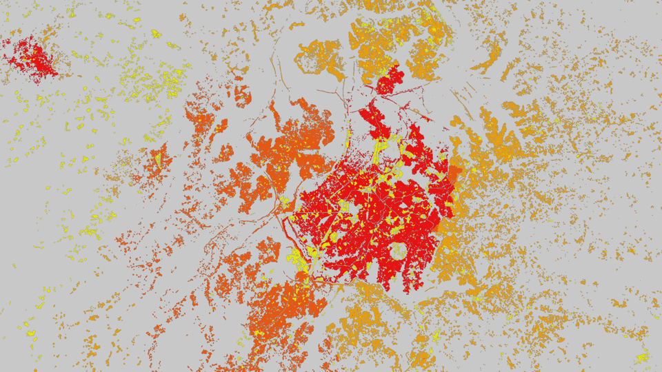
Clutter / Land use
Standard classes include: sea, inland water, open land, forest/woodland, park, villages, buildings, building blocks, dense building blocks, residential, industrial and commercial, open in urban, dense urban, dense urban high
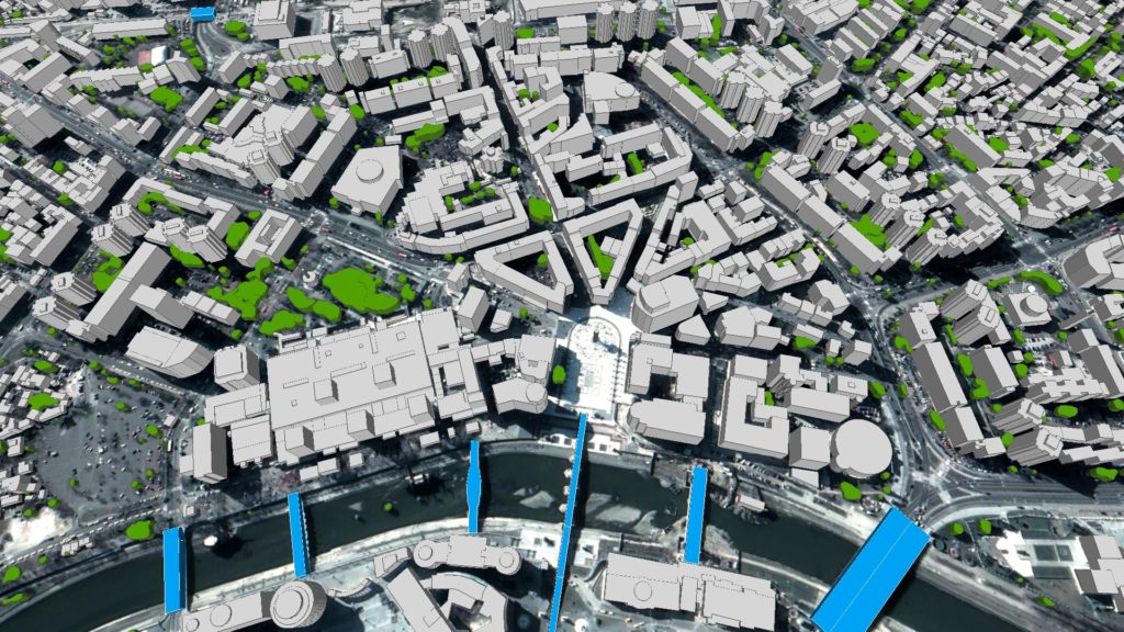
3D Buildings and Vegetation
Detailed 3D mapping for buildings, bridges, vegetation and terrain
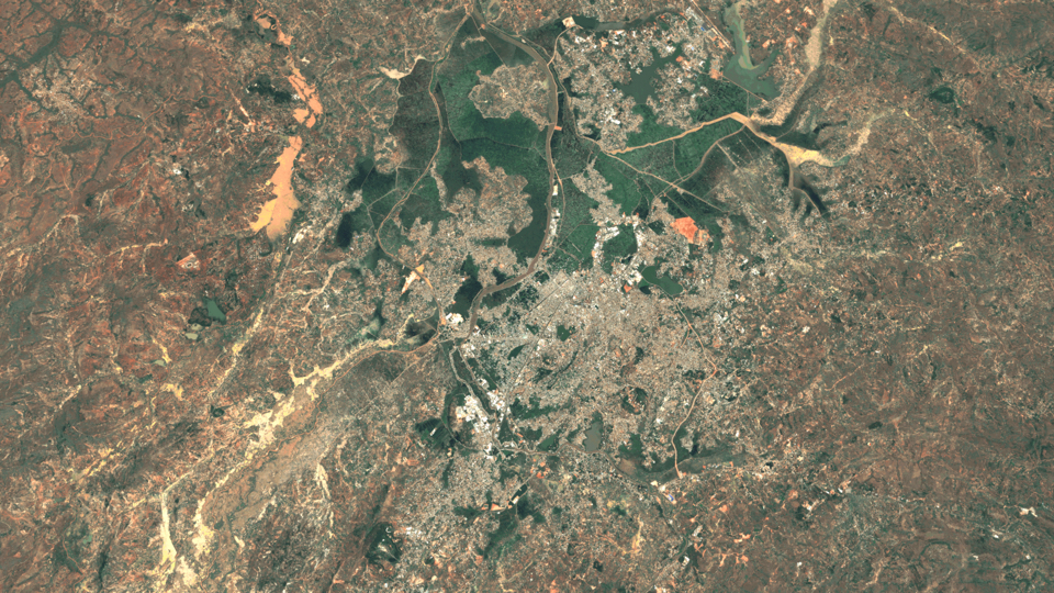
PopMaps
High-resolution population and related population density maps to identify areas of high-traffic demand for expansion and densification of the network
30 Years of Experience Creating
Digital Maps Perfected for the Wireless Industry
We are geodata experts, lets talk today
We are happy that LuxCarta has created a geodata solution delivering a close proximity to the environment for real wave propagation at 26 GHz which is actually needed for an accurate modeling of 5G networks used by Telefónica Germany for example for Fixed Wireless Access trials.