LuxCarta creates correlated raw GIS data derived from medium and high-resolution satellite imagery for use in geospecific or geotypical runtime terrain databases.
Your Global Terrain Provider
- DEM (DTM and DSM)
- Land Use/Land Cover (LULC)
- Orthoimagery
- transportation and hydrography vectors
- building features as 2D attributed footprints
- 3D models of building to use as inputs for simulation.
- Flight simulation – fixed wing and helicopter
- Civilian and military
- Artillery forward observer training simulator/call for fire
- Combat and gunnery skills trainer (CGST) for vehicles
- First person viewer/shooter


Terrain Delivery Formats
LuxCarta can deliver full virtual terrain databases in OpenFlight, Prepar3D and X-Plane. In addition, we can supply our data in formats such as FBX for immediate use in game engines such as Unreal and Unity. We deliver .shp and GeoTiff files to most customers, but can typically find an output format to meet customer requirements.
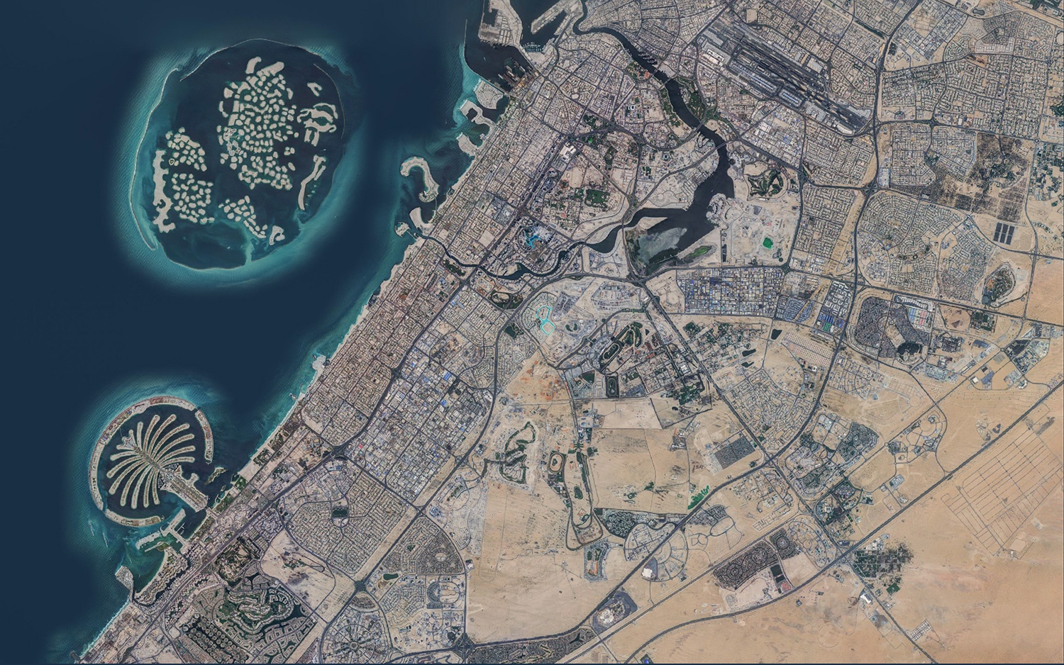
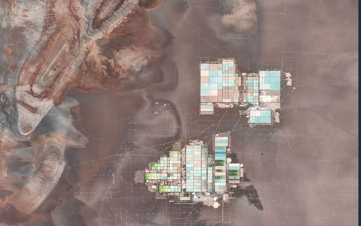
Flight Simulator Terrain
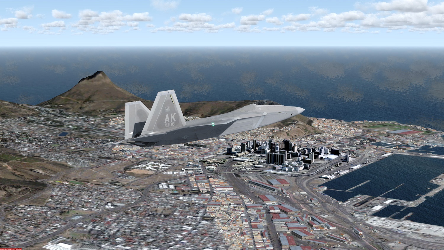
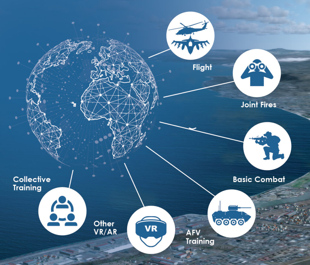
Bohemia VBS3 and VBS4 Terrain Generation
Why BrightEarth for Terrain Generation ?
- 10m global landmass availability
- Ease of use – download by geocell, region or the entire globe
- Unparalleled accuracy, colour balancing and realism
- Continuous updates ensure imagery equals reality
- Flexible licensing options
- Created in the cloud; delivered via the cloud
BrightEarth – Ideal Solution for Accurate Terrain Generation
Our global seamless cloud-free mosaic and land use/land cover (LULC), along with a cloud-based service to deliver building footprints and tree polygons “on the fly” is the answer to “stale date” terrain. Terrain (specifically orthoimagery and LULC) can be delivered for anywhere in the world, in conjunction with building footprints, as needed for simulation training.

