
Coverage & Geospatial Data
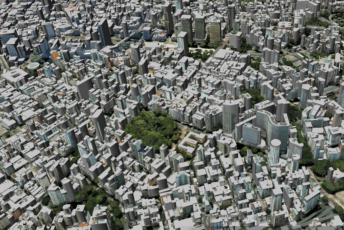
3D City Model of Fortaleza by LuxCarta
Explore Luxcarta's precise 3D city model of Fortaleza, tailored for 5G rollout in Brazil. Dive into the future of connectivity with us.