
Coverage & Geospatial Data
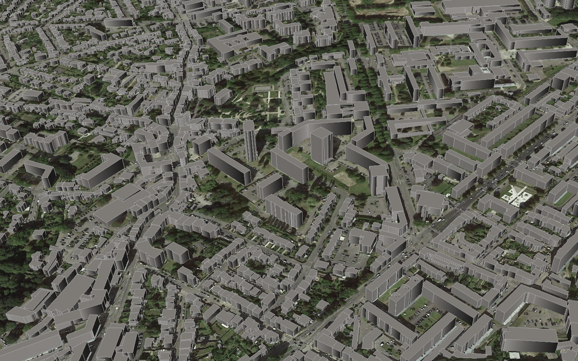
3D City Model of Sydney for 5G Network Planning
Discover LuxCarta's detailed 3D city model of Sydney, Australia. Tailored for 5G wireless network planning and optimization. Mapping for telecom...