City Planner
City Planner
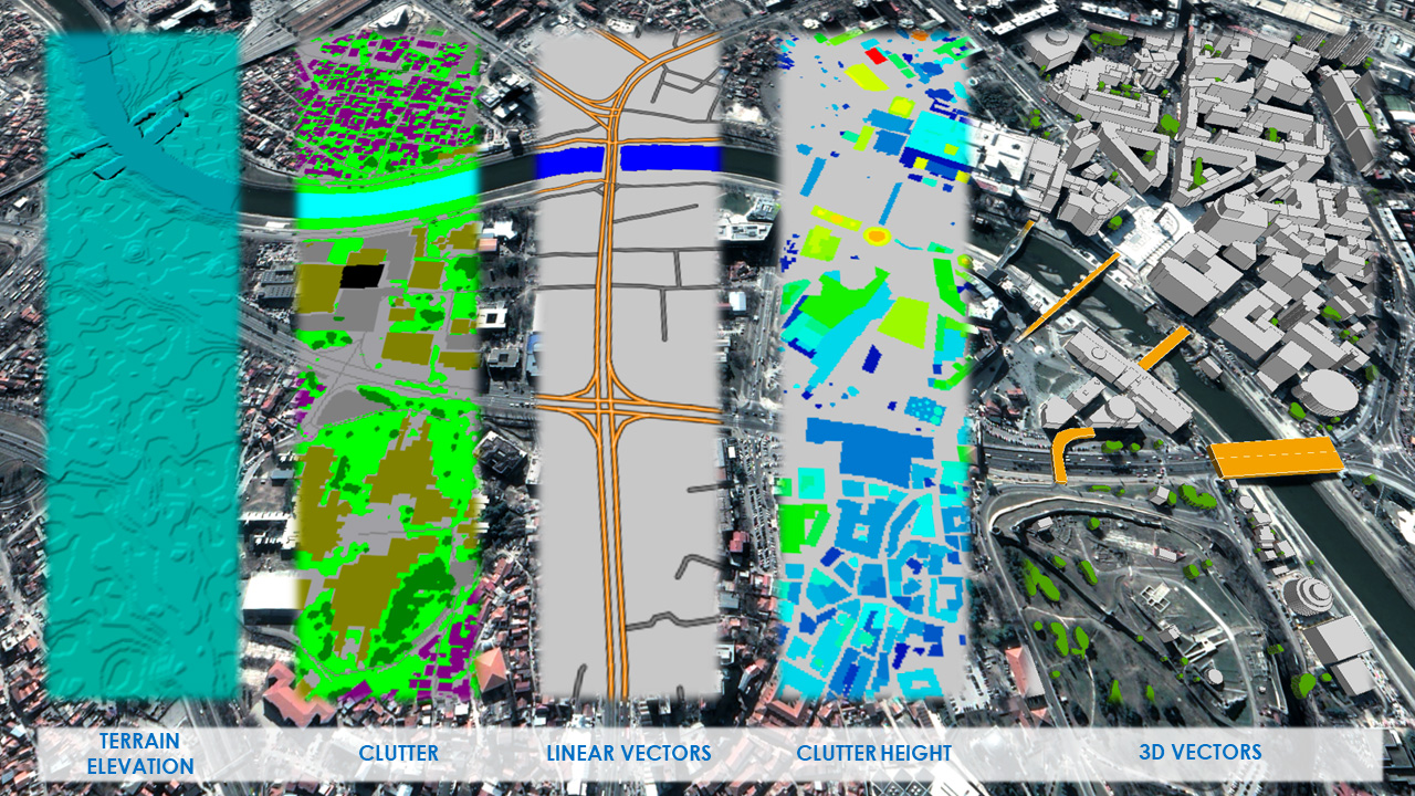
The City Planner is a high resolution database for use in high frequency line-of-sight network applications, and provides an accurate height model of terrain and all above-ground features such as buildings, vegetation and bridges. The integrated orthoimagery provides important planning context and the perfect means of visualizing connectivity to target customers.